Photovoice Mapping Activity – Apéri’tours 2024
Dr. Catherine Jones (Université du Luxembourg)
Description
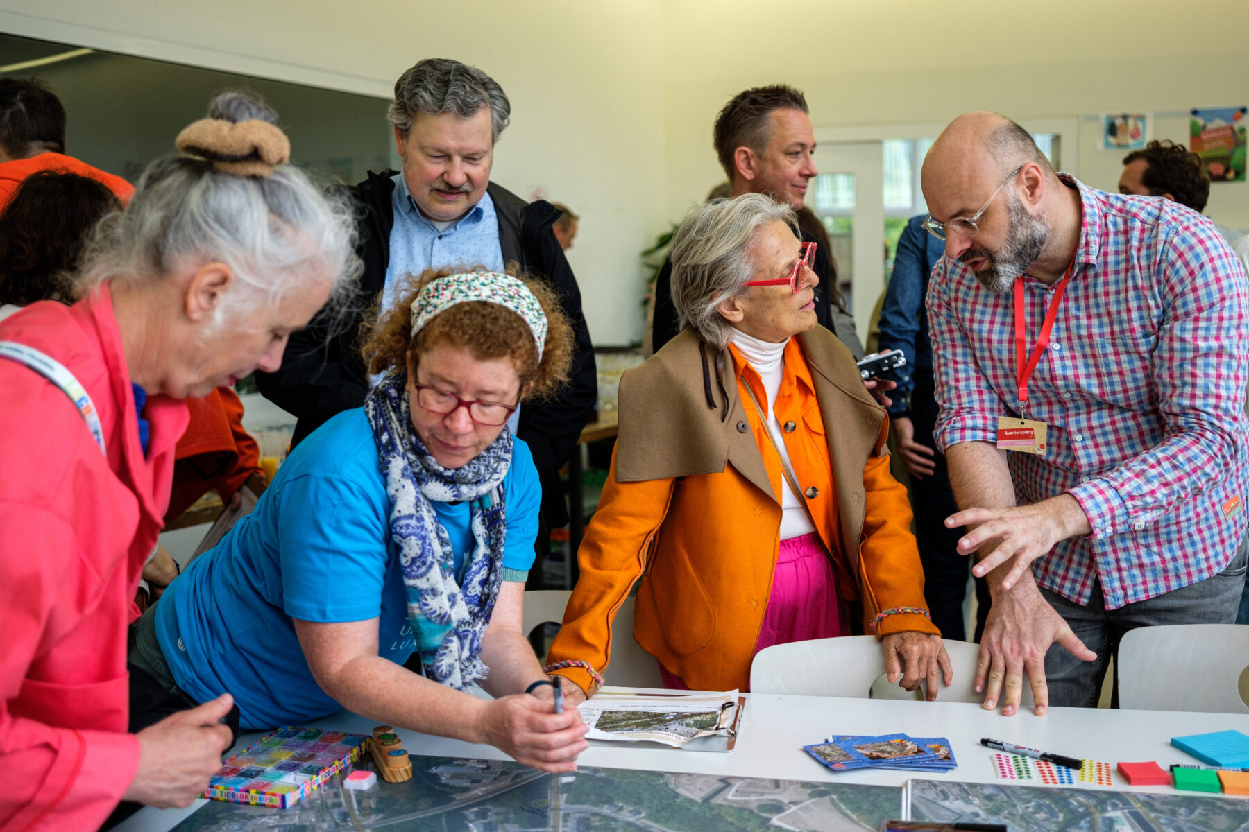
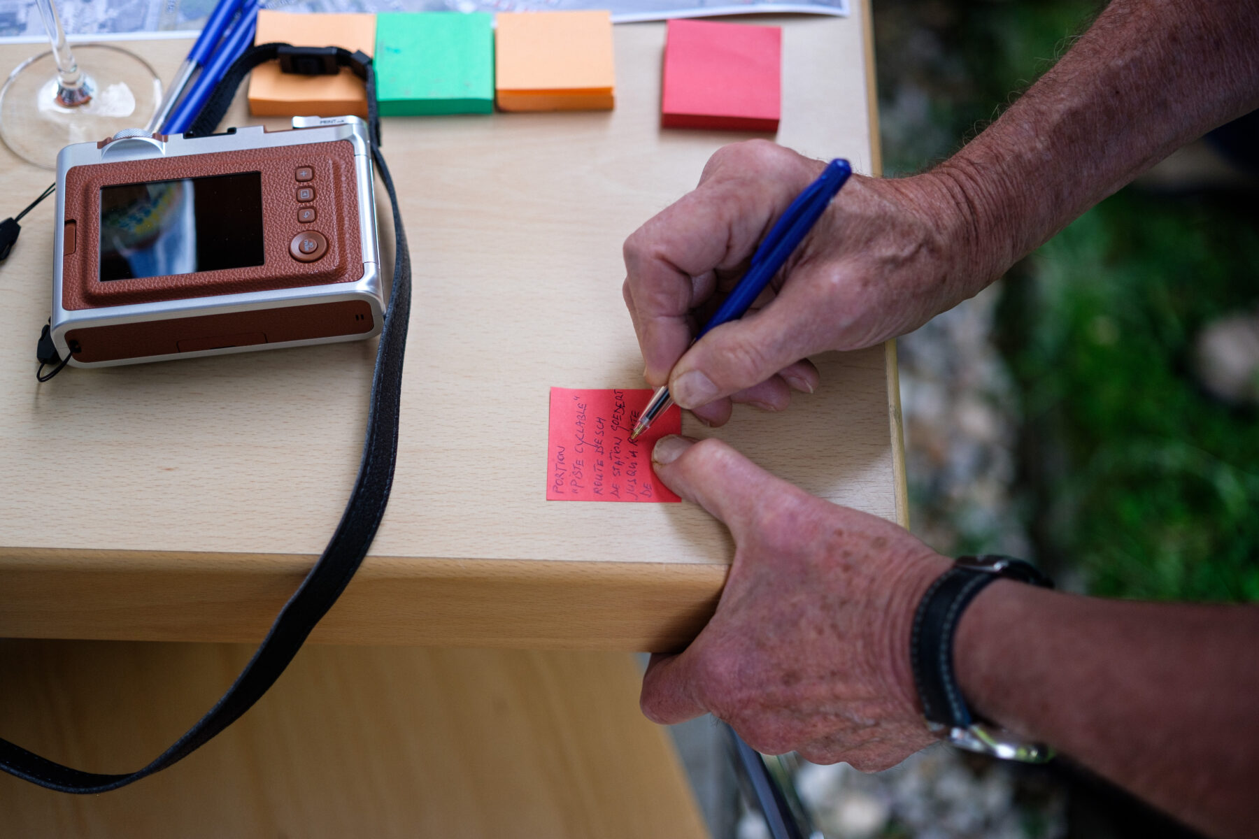
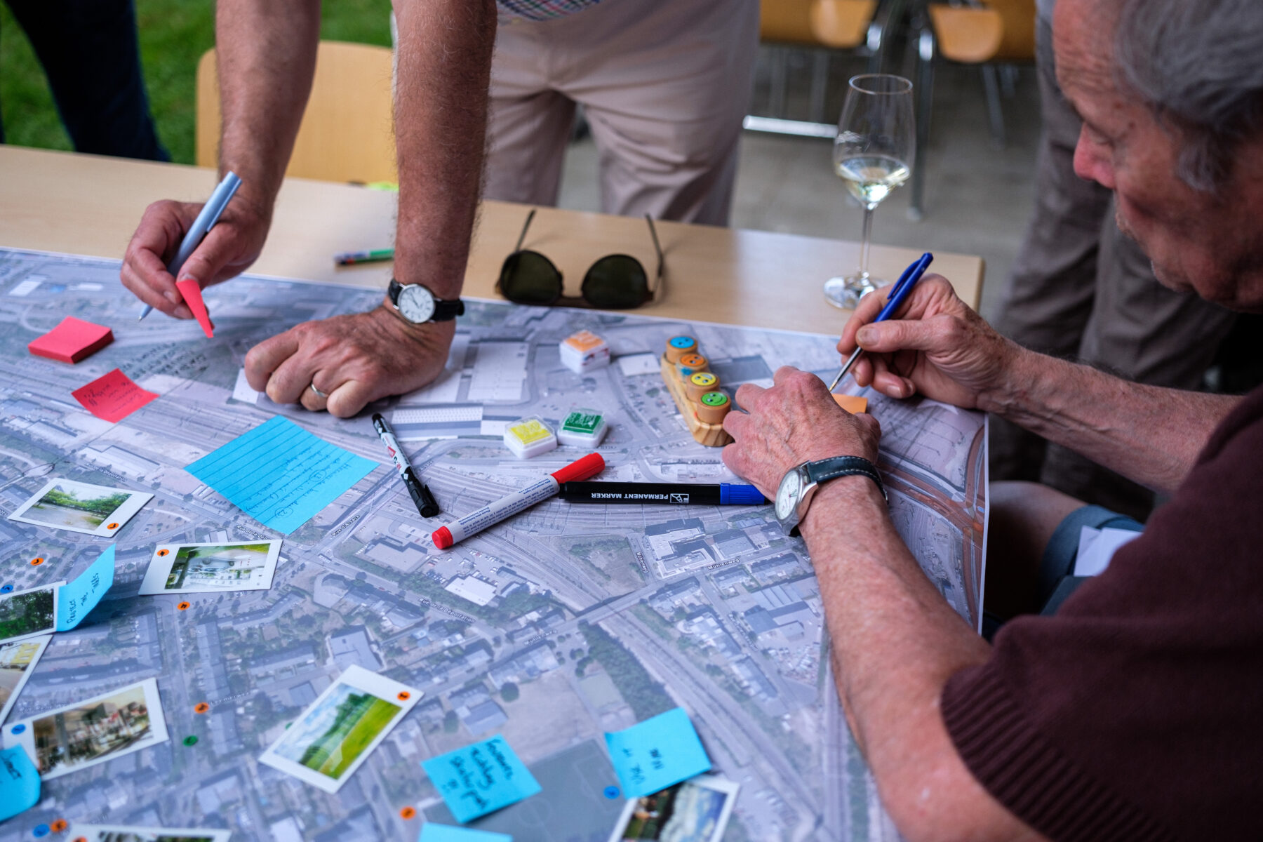
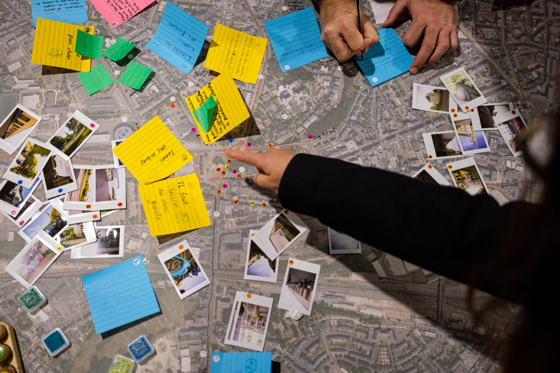
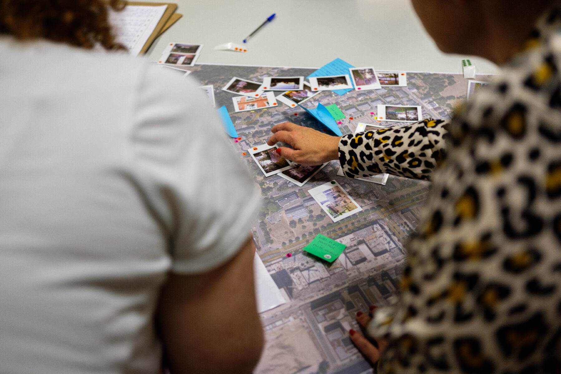
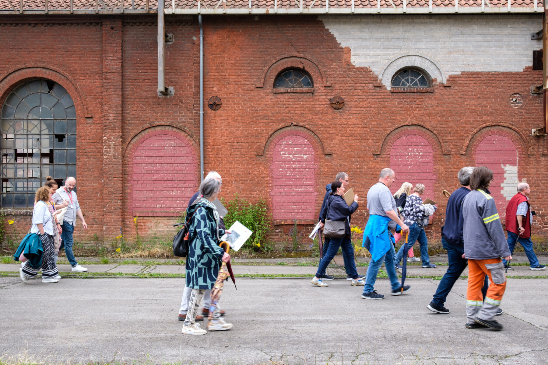
Participatory mapping is a method that works with local communities to identify and map their experiences, attachments, and concerns related to their neighbourhoods. Implemented as part of the City of Luxembourg’s Apéri’tours, it combines local spatial knowledge with mapping and photowalks to reveal positive and negative perceptions of places and to clarify urban needs and priorities. The process relies on active community participation and produces voluntary geographic information that supports decision making. The outcome of the exercise is a synthesis report, based on collected, digitised, and analysed data, supported by a toolkit enabling replication across neighbourhoods.

Category
Representing and documenting
LAA Edition
2026
Author(s)
Dr. Catherine Jones (Université du Luxembourg)WITH
None
Client
Ville de Luxembourg
Year of completion
2025